

Workshop “Geoportail.lu”
- workshop
-
Digital workshop

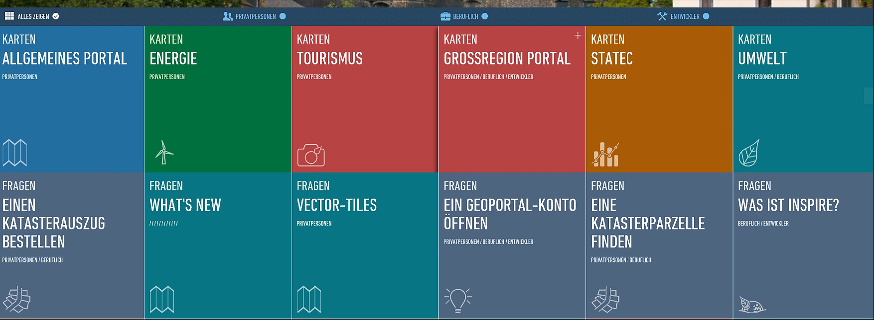
Geoportail.lu is an official platform for geographical data and services. Here you will find information about cadastral maps, topography, infrastructure, and many other data. Hiking trails, cycling routes and tourist attractions are also displayed.
This workshop will show you how the user interface is structured and how to search for information specifically. Learn how to access different map views, such as topographic display or aerial photos, and how to use practical features.
Good to know
The platform operates online. The workshop will focus on using the interface and practical features to make the most of the available data.
Automatically translated from German.
Where does it take place?
Vianden Castle
1a Rue du Vieux Marché
9419 Vianden
Luxembourg
by ![]()
Weather forecast (Vianden)

Otherwise… check out the agenda

see all the things
to do around you


Hey, don’t go away...
Get the best
outings around you
All the best deals
events
spots